day 28…5.18
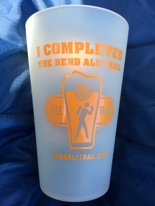
First stop this morning was the Visitors Center on my way out of town to retrieve my Ale Trail Prize! (I know you’re laughing right now thinking all that ‘work’ for a Silipint cup & a sticker…which FYI is made in Bend…the only company in country making them!)
I was headed up the road…to which would be my most northern point on this trip….to Smith Rock State Park. Danny & I had hiked here along time ago & I remember it was a pretty cool place. It’s a climbers mecca. It’s also the camping deal of the country…you can either pay $5 for a day permit OR you can pay $5 for bivy camping…which also includes your entrance into the park & a shower! Unlike the communal camping at Yosemite, this type of camping has a designated cooking area out in the middle of the parking area. The camping is just in a huge space with some small trees (this is desert country); no campfires or cooking allowed in the campsites. I found a spot & set up camp; ate some pbutter & crackers & finished my coffee.
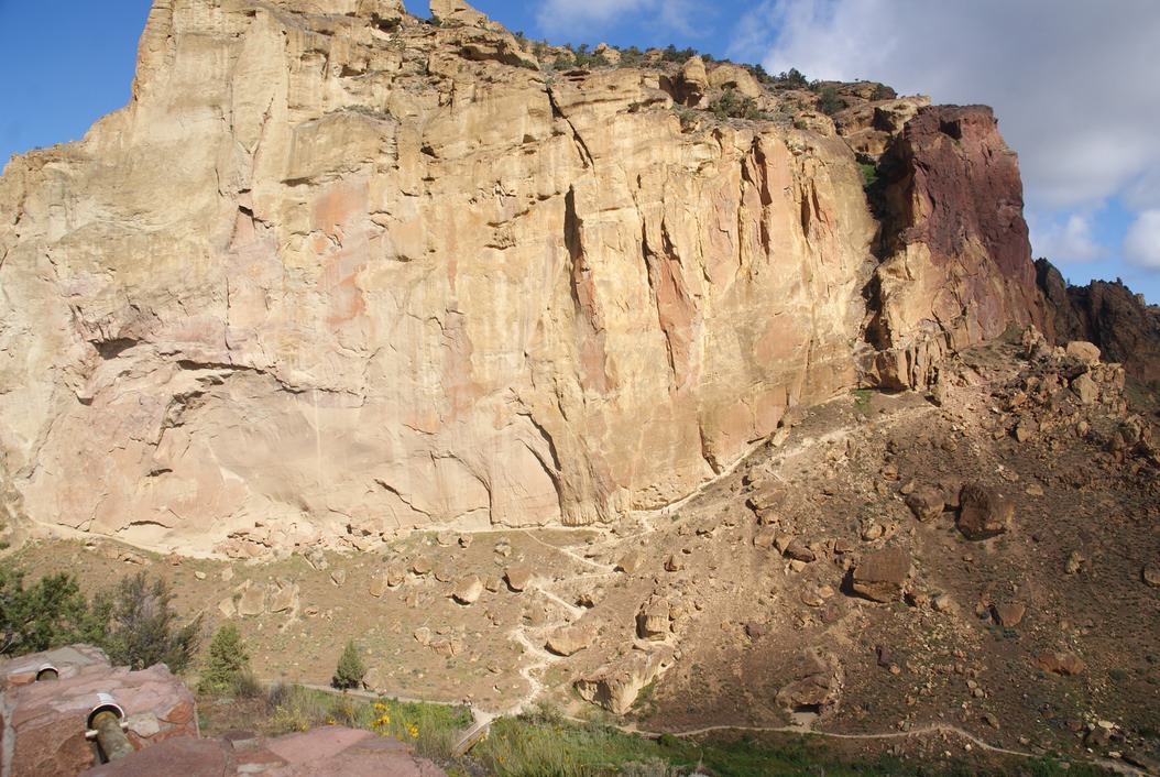
It was a beautiful day & about noon, but I took off on a hike called Misery Ridge. Same trail Danny & I had hiked before. The Crooked River flows right around the huge rock formations creating a breath taking scene…especially when you start watching the climbers!
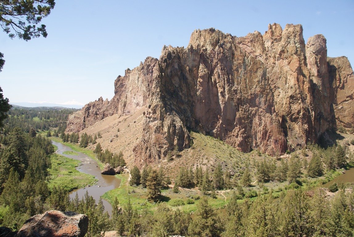
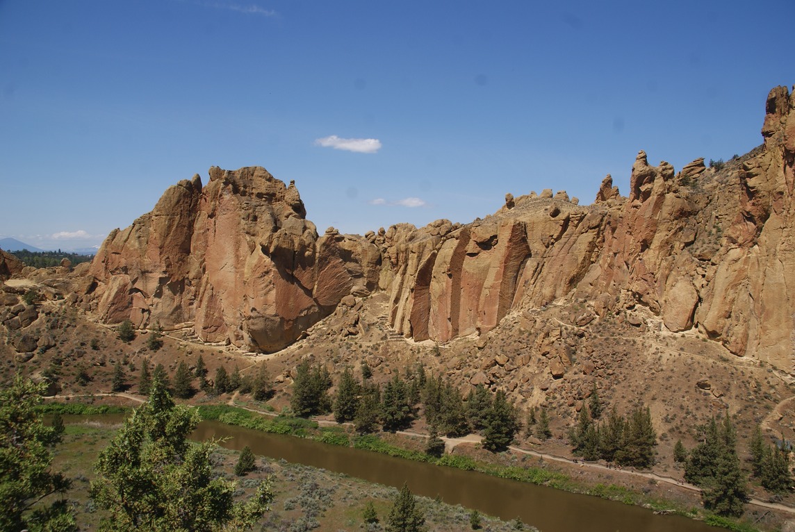
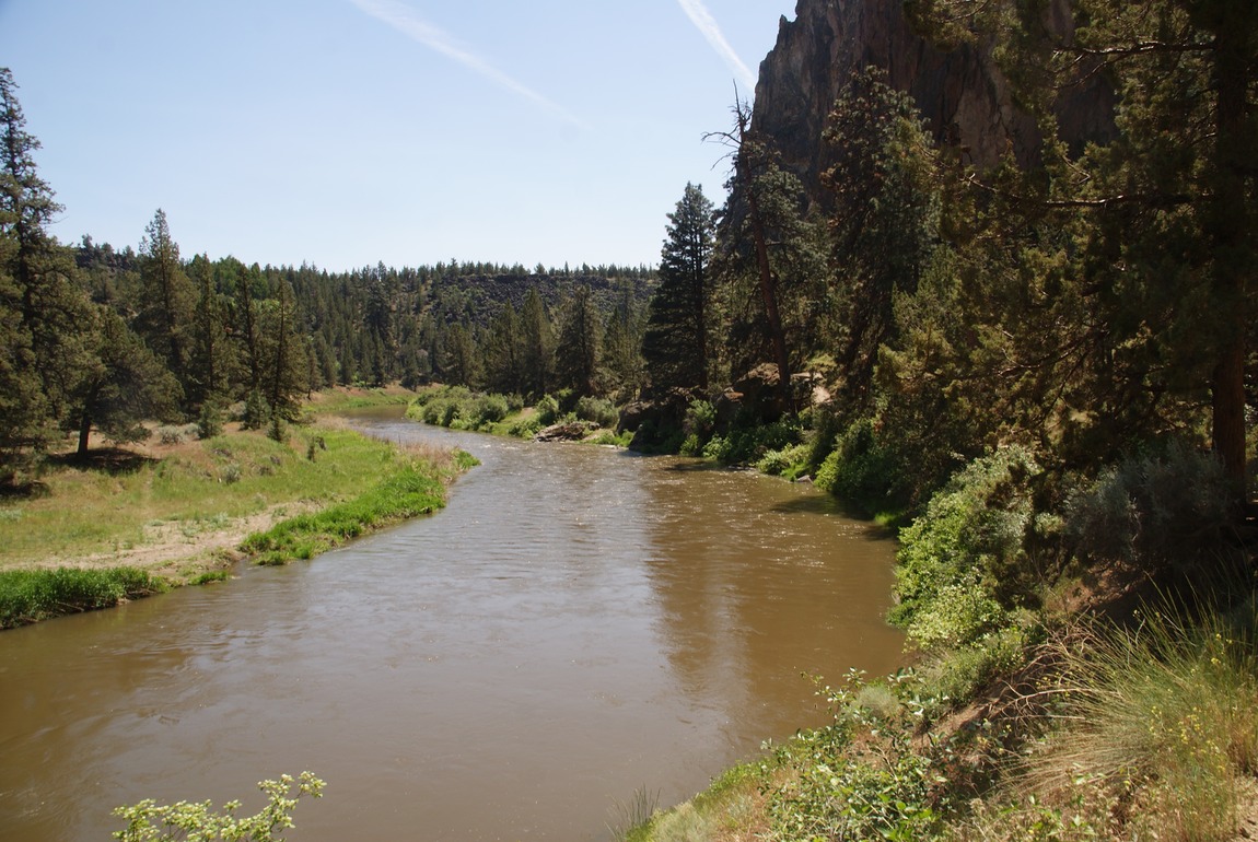
The hike is a loop & I started with the easiest part first, which is a gentle climb down into the canyon, then a lovely flat walk along the river.
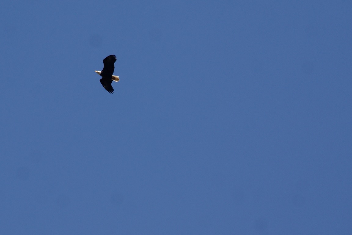
I’d heard there was an eagles nest in the park, & it wasn’t too long before an eagle was flying over!
Then I saw a couple of playful river otters having fun & eating, so I watched them for awhile.
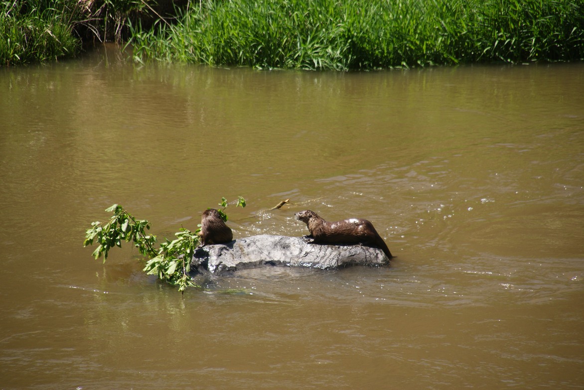
This part of the hike is anything but miserable, just a wonderful walk along the river watching the wildlife! And then the trail began to climb. There’s a rock pinnacle called Monkey Face that is especially awesome to watch climbers scale.
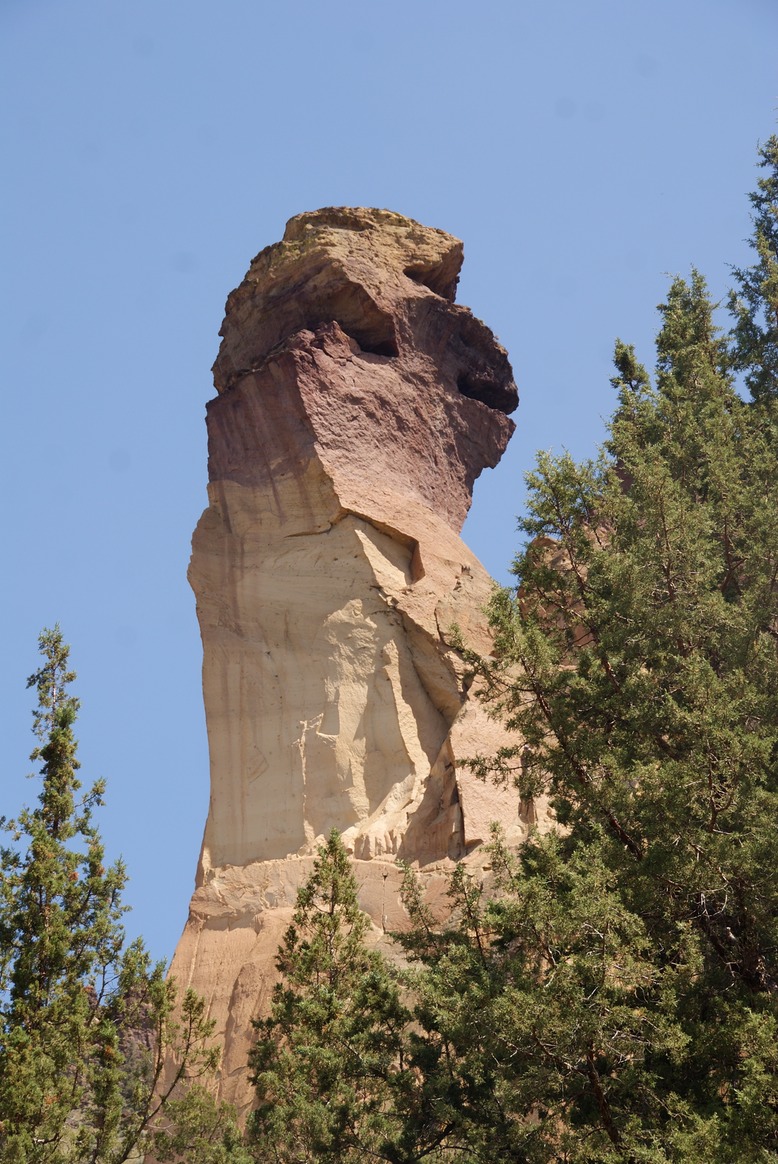
The trail first goes in front of it, then as it begins to climb up many switchbacks, it meanders around the backside of the rock.
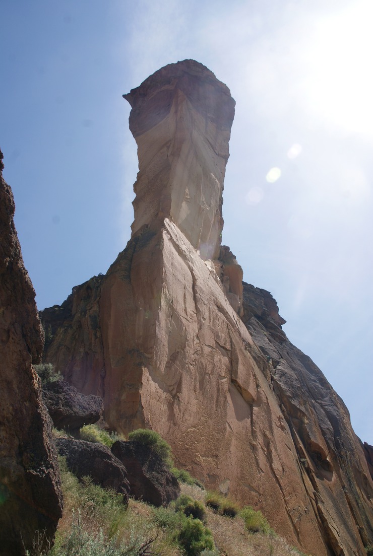
It’s fun to see the rock from all the different angles & more so once you begin to climb…& it’s a good ‘excuse’ to stop so you can photograph & stare up at the rock (really you have to stop just to breathe!)
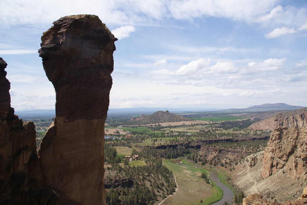
Once at the top of the switchbacks, you’re higher than the top of Monkey Face. Check out the little tiny dot in the middle where the rock turns colors…it’s a climber.
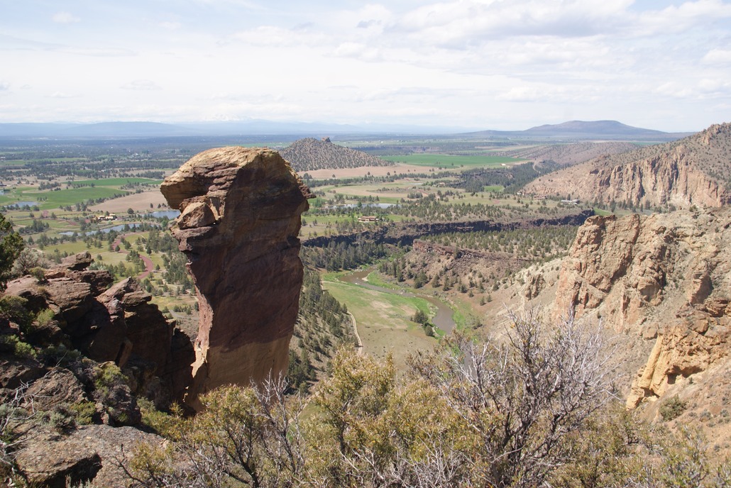
The view is spectacular of the valley & the mountains in the distance & the river flowing around! It’s about a mile across the top of the ridge with views all around.
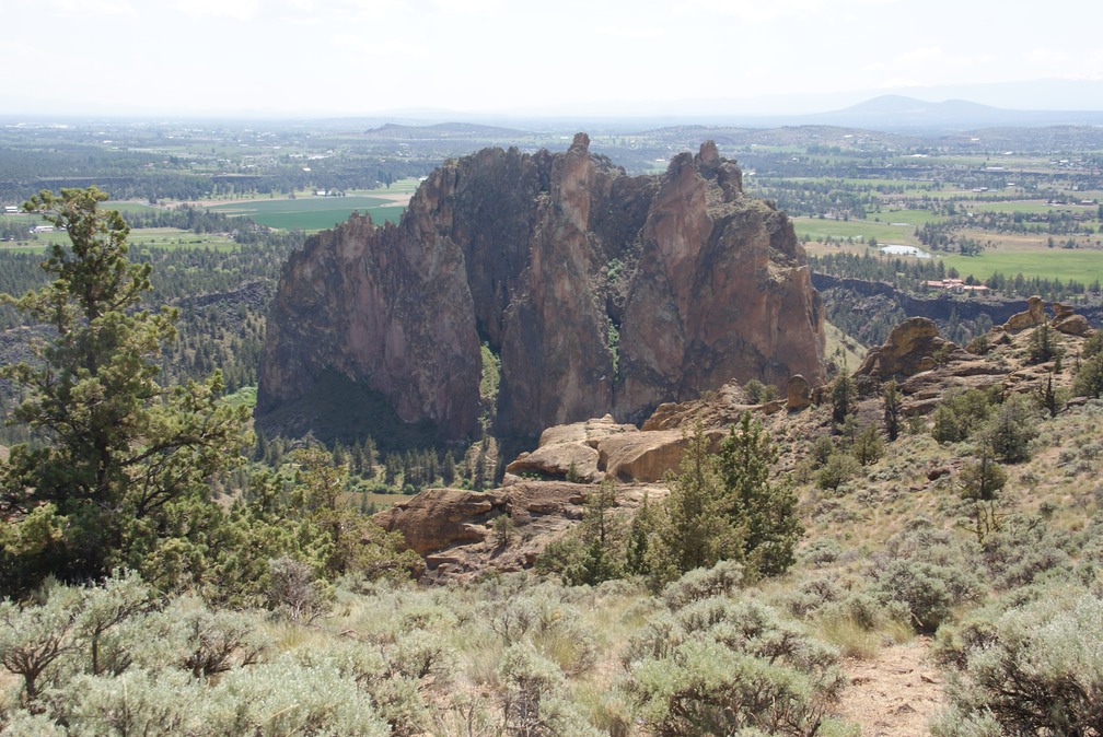
And then it’s time for the ‘misery’ part of the hike’s namesake…going down. Although, it wasn’t as bad as I thought it would be…just super slow! There are two sets of switchbacks going down..below is the first set.
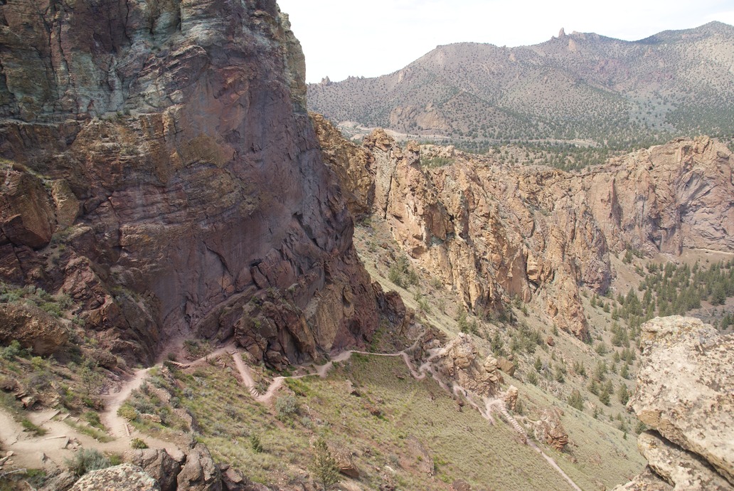
The next set is easier to see from the bottom, once you’re down. So, you can see the trail switchbacks up the ridge, then goes around it, then you’re on top!
I had walked from camp, adding about a mile onto the route, then took another trail back to camp. I was going to try freeze dried backpacker food for my lunch/dinner…Pad Thai was on the menu. It’s easy enough….boil water, add the pbutter that’s included; add the water; seal up the pouch for 20 minutes; then add the peanuts that come with it. The problem is these dinners are for two people…& this is a dish that you can’t really eat two servings of. But, it was pretty good. I’d definitely do it again if I had someone to share it with. I have one more meal I’ve bought (I can’t even remember the dish) for when I’m in a pinch & can’t find someplace to eat.
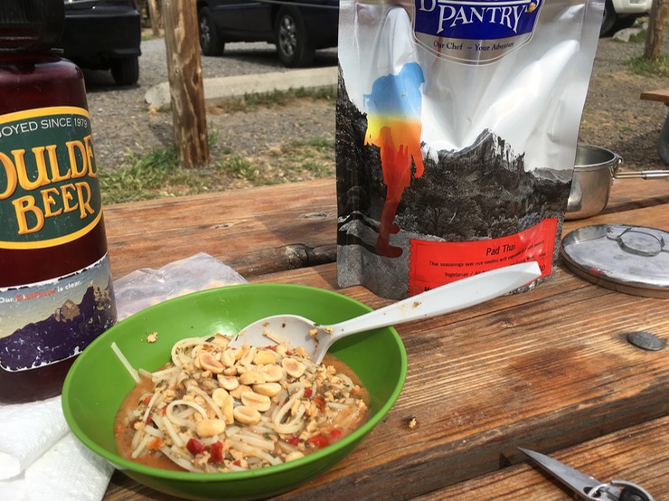
I ate about 1/2 & drank a bunch of water. I was referring to today as a “cleansing’ day…no beer. I hadn’t bought ice, so I could either drink my good beer HOT or none at all. I’d had so much yesterday, I figured it was a good time to do without. The day was still nice, so I went back to camp & read for awhile. As evening drew near, I went back to the 4Runner, cleaned her up a little, got out some clean clothes & my shower gear & had a nice warm soapy shower!
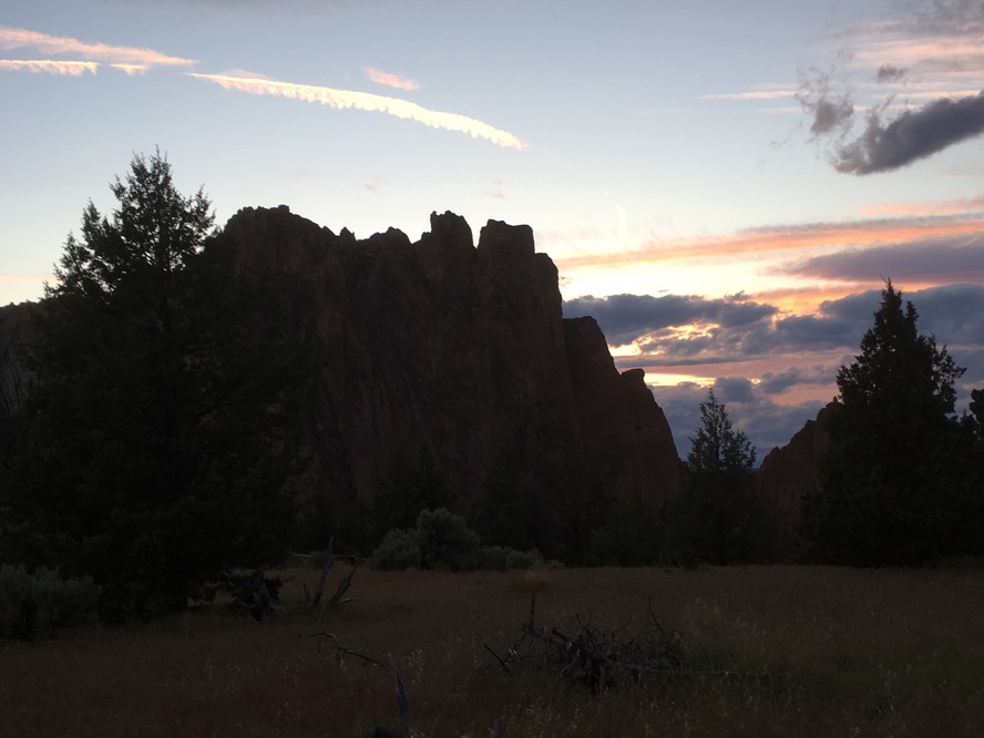
The sun set & Danny & I caught up on the day (YES! I had cell service) & his full moon had already risen but mine had not. When I got up to walk out to the bathroom at 2am though, it was bright & shiny in a star filled sky! What a beautiful night!
day 29…5.19
The temps were supposed to get down to the high 30’s last night, but it couldn’t have been lower than about 60…it was just a wonderful night & a beautiful morning…although this morning was definitely colder than at 2am when I was up. I slept in than broke camp. Ate more pbutter on crackers & made coffee. Bundled in my down jacket & long pants, I grabbed my camera & coffee & decided to walk along the other side of the river.
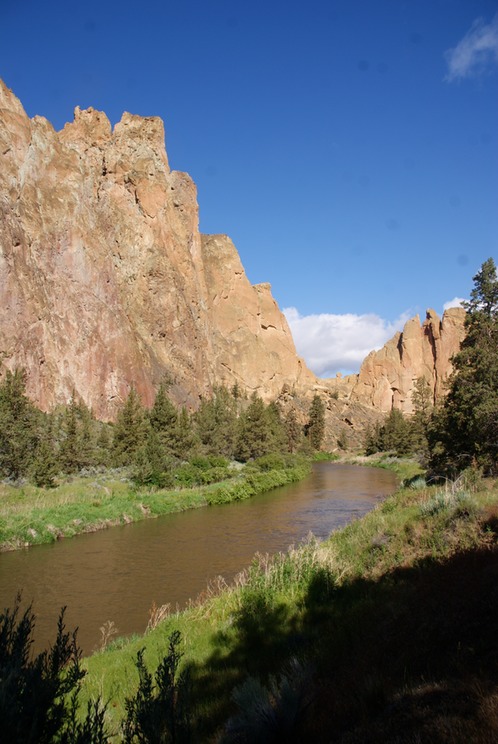
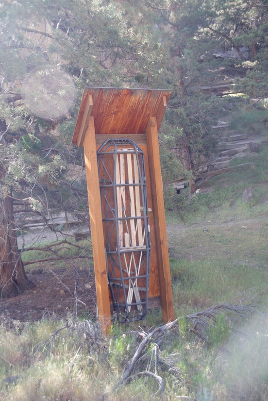
The otters weren’t out, but the climbers were. I found a warm spot in the sun & watched them hard at work. There was a time in my life when I was interested in climbing. I’ve only done a little, but the closest climbing gym was 50 miles (a couple of those trips get tiring & expensive), I had no one else I knew who was interested in climbing (& it’s kind of one of those sports where you need a partner) & THERE’S NO WHERE TO CLIMB IN KANSAS. So, that wasn’t a path I chose, but I still read books & articles about & by climbers; watch climbing videos & follow a couple on twitter. While sitting there (& also on yesterday’s hike) you can hear them shout “on" or "off belay’ or “woohoo!" when they get to the top or get through an especially hard pitch…the thing that’s un nerving to hear is ‘falling’. I watched & heard the guy at the same time, but luckily his partner was paying attention & the rope stopped his fall. Risky business, but they love it. It was interesting to be in the cooking area this morning & over hearing all the climbing talk. As you hike through the park, you see these little kiosks with rescue equipment in them scattered throughout.
After my walk I headed back south towards Bend…I was going to spend another day here exploring.I had some errands (grocery store, post office, etc) to run which took a couple of hours.
Misrouting leads to Trip Magic! One errand I wanted to run was to go buy a 6pack of the Cucumber Crush from 10 Barrel Brewing. It’s a learning curve regarding the liquor laws in other states & Oregon’s took me to a couple of different stores to buy beer, but for the Crush I put the breweries name in Mapquest & followed her directions. I thought I was getting to know my way around by now, but the directions too me to a business park…where I found myself in the parking lot of 10 Barrel’s brewing facility. Note to self: be more specific with Mapquest! There were 3 people in the lot unloading cases of snacks: chips, candy, twizzlers, etc….all sorts of good stuff. I grabbed my wallet & crossed the parking lot heading to the door & asked the guy if they sold their beer here. His reply was no, I’d have to go to the restaurant. I said no big deal & held the door open for all of them. As they wiggled through the door, he asked me if I wanted a 6pack a Joe…their best selling IPA….there was a case & 6 pack holding the inner door open. I said sure! Best prize for following the wrong directions!
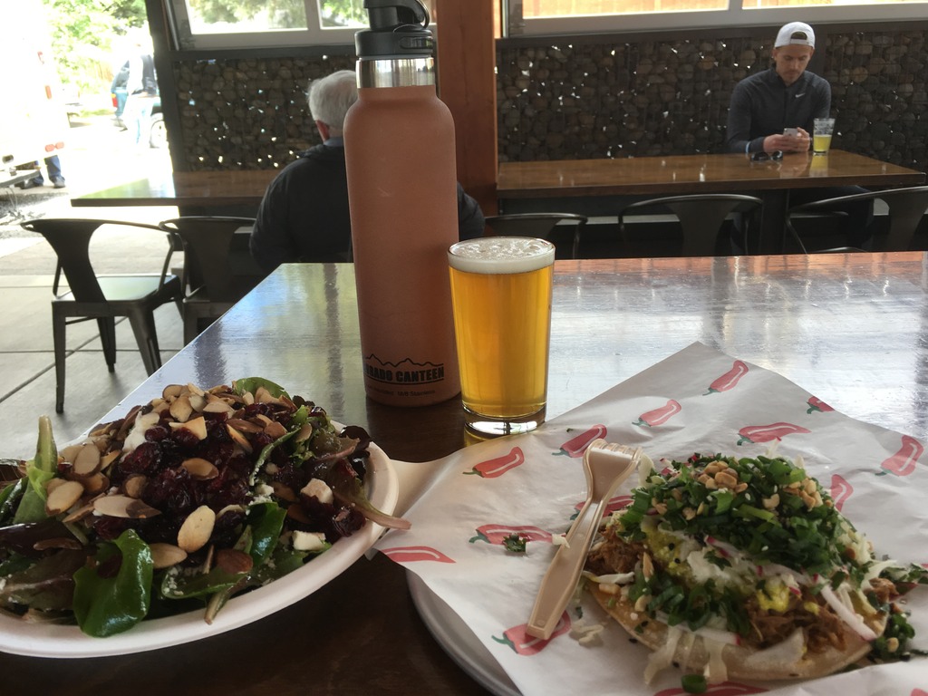
When I was done, I headed to the Lot…a super cool place for lunch. There are about 8 food trucks that surround a covered seating area…with heaters in the ceiling blowing warm air below. It was in the low 50’s here today, cloudy & chilly. I ordered a salad & a pork curry taco & had a short pour of a Crux IPA. The taco was some of the best food I’ve ever had! So delicious!
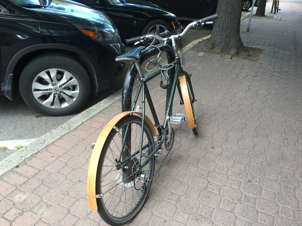
Then I headed downtown to explore some of their quirky & eclectic little shops. I missed my trip-shopping-partner Jill, but really enjoyed these funky little places. Look at this cool bike I passed…wooden fenders!
I went back to Crux brewing for what I personally voted “the best beer of the Ale Trail”…that I had anyway. It’s a bourbon barrel aged Russian Imperial Stout….oh so yummy. Then it was time to get some gas in the 4Runner & head south. I’m headed to a place called Summer Lake where are there are hot springs. I’m not there yet, but I wonder if I see them in my view?
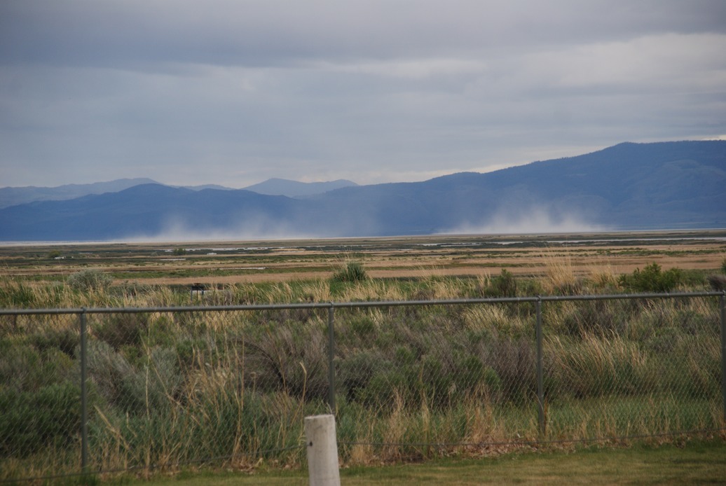
So, after I posted this picture, I thought I was done for the day…tucked into a sweet picnic/rest stop off this desolate road…& for a bit I had not only voice & text service, but internet service as well. So I checked the weather…CRAP! “Severe Winter Weather Warning”…4-8” of snow predicted starting around midnight. It had been raining, but the temps were still in the mid 30’s. Then I lost internet service. I called Danny & he Googled & Mapquested some stuff for me & I decided I would try to outrun the storm. I’d leave now, in the pitch black on a highway that had “Watch for Deer” signs about every 1/2 mile…ICK!!! I had 75 miles to drive to get the town where I’d reassess my plans. It was slow & tedious with intermittent down pouring rain, mist & no rain…but thankfully, no deer. I did have to hit my brakes for an owl…but I even missed that! I pulled into the first station in Lakeview OR. Two guys were cleaning up as they were getting ready to close at midnight. I asked them about the highway I’d passed a few miles ago, that I was planning on taking into Nevada….of which I noticed a sign pointing the same way that said “Ski Area”…I wasn’t feeling good about this.
They suggested I NOT drive that highway…especially tonight. I asked about passes…there was just one, but here’s how he described it “narrow with a sheer drop off, kind of just carved on the side of the mountain with no guardrails”. OOOOKKK. I asked if I could sleep on the edge of their giant parking lot tonight. They said definitely, pointed to the outside bathroom & told me they’d be open again at 4am if I needed anything. Trail Magic for sure! Before going to sleep my mind was wandering about routes & weather & all things dark & stormy. I had internet service so I was checking all kinds of stuff…one fact I found out is that Lakeview is the highest city in state of Oregon…just where I wanted to be in a snowstorm…NOT! I did fall asleep after about an hour though…rain falling hard outside & temperatures dropping.
home 1 2 3 4 5 6 7 8 9 11 12 13 14 15 16 17 18